Ranganui

Avg: 3.6knts
24hr: 85.2nm
Automated update - Terestial
Avg: 5knts
24hr: 120.9nm
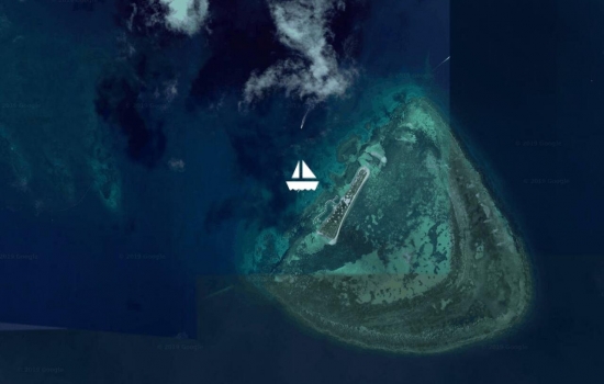
Passing Nine Pin and heading for the customs dock at Opa
Thanks - now the clean up of
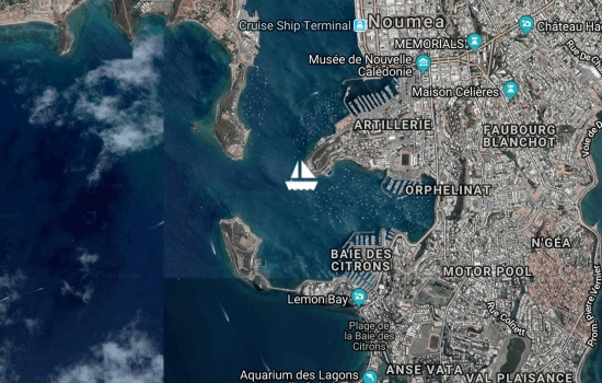
Back in Noumea for crew collection and final arrangements.
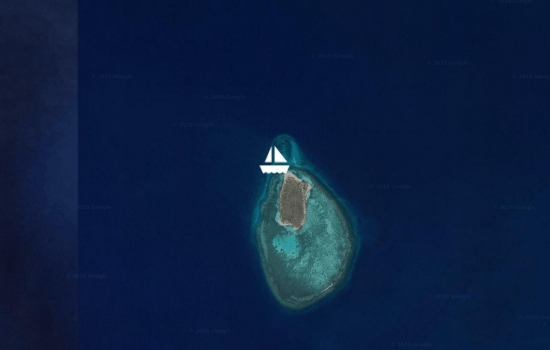
3 turtles at once! Another mooring at a marine reserve

A bit rolly due to the wind direction and strength.

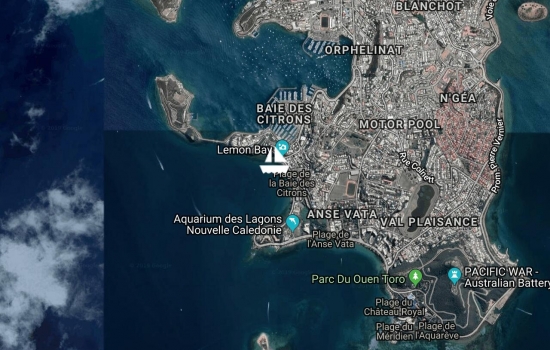
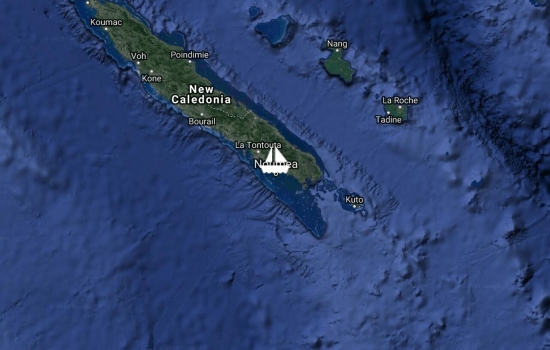
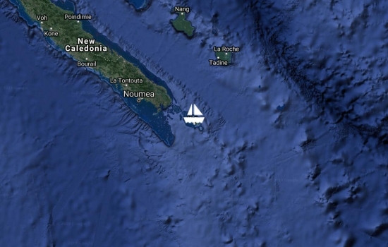
After a quick stop off Noumea for fresh fruit and to top off the water, headed out to commune with the turtles, sharks and sea snakes in Amedee Island.
Hiding out from the reinforced trade winds in Baie Maa. Outside blowing 25-30kn. In here, behind a big hill, about 5kn.
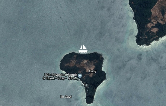
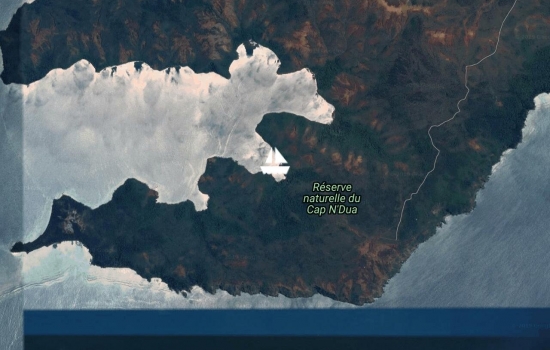
Picked up a free park mooring in Isle Casy after scuba diving on the Prony Needle
Returned to the mainland and gradually heading back to Noumea. Have caught up with the Island Cruising 'flotilla'

Anchored in 3.5m on sand off the hotel Paradis d'Ouvea.

Overnight stop on the way to Ouvea. Great snorkeling in 30m + vis water. Can see the anchor on the bottom in 17m.

In We marina after overnight sail from the mainland
Really isolated spot. About to head to the loyalties but waiting for weather.
Tucked into a good spot behind the reef but still there is a bit of wind

Anchored in Port Boise sheltering from the strong westerlies. Trip out to the Loyalities is being delayed by the weather

Escaping the coming westerlies by heading to a sheltered bay near Noumea.
Saturday market and provison restock visis to Noumea. Was a 14hr downwind sail from Kotu
Anchored in Kuto, Isle de Pins. Lovely spot.
Anse Majic. On a public mooring put down to protect the coral. Track up the hill to the lighthouse and whale watching station.

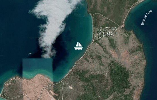
Visited the hot pools and the rapids. Interesting place. Very sheltered and remains of iron mining & prison camp.
Apologies to all those that got worried with the lack of updates. I had enabled automatic tracking using our AIS through satellite but it did not seem to work. Let's just say it was an eventful trip! The boat looked after us and we did OK- even though on a few occasions we were heading more for Fiji than Nouméa!
Have returned to Noumea to do Immigration and am now sitting in the Port Moselle cafe enjoying the 'atmosphere'.
Will get a local phone number soon but if anyone needs to contact us Janet has her NZ number still. Just text- the roaming rates are extreme!
Well done guys. Have been
After an hour long wait in
Cleared customs through the marina office on Friday. Quarantine man came down very promptly and left us eggs and bacon for breakfast. Then discovered that is was a public holiday and immigration was closed! Decided to head out to a local Island and chill for the weekend. Great spot. Swimming with turtles.


Avg: 3.5knts
24hr: 84.7nm
Tied up at Port du Sud. Have arrived on a public holiday so everything shut so just tied up at the marina amoung superyachts. Start the clearance tomorrow. Now beers and a good sleep!
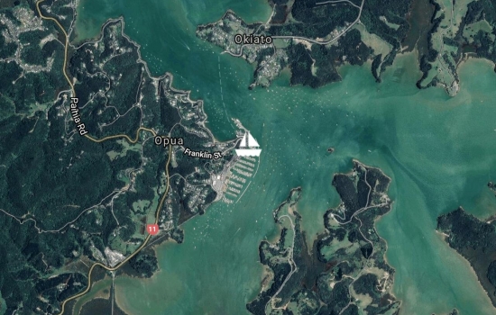
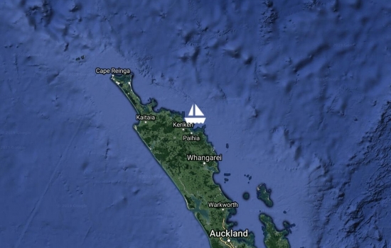
Tied up in Opua Marina after a boost up the coast. 30kn+ winds but sheltered from most of the swell by the land. Exciting time getting around Brett and motored through the islands. Good to be here. Now waiting for a weather window to head north.
Not sure if you have left but
Has anyone heard from them?
Just hoping you guys are
Hi Spencer, I am watching
Will follow you all the way
Pages

Avg: 2.6knts
24hr: 61.3nm
Good wind to sail north, but a lot of wind to contend with. Dinghy decided to leave us as we passed the Hen and Chicks so the crew had man OB practice to get it back. A really good intro to the boat for the team. Now anchored up in Tutukaka and having a nice dinner.
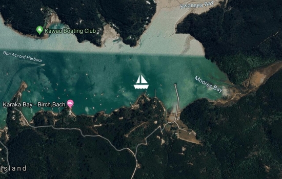
Departed Hobsonville at 1500hrs heading north. Anchored in Bon Accord for the night.
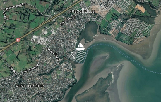
In the final stages of getting ready before our trip north.
No blogs available for this yacht.